Global livestock theft costs farmers and ranchers an estimated $1.5 billion annually. In the United States, cattle theft alone accounts for over $100 million in losses each year. In the Middle East and North Africa, the theft of high-value animals — falcons, Arabian horses, and prize camels — represents losses that can reach hundreds of thousands of dollars per animal. Beyond theft, livestock straying from designated grazing areas causes crop damage, road accidents, and the loss of animals to predators or harsh terrain.
The Internet of Things is fundamentally changing how farmers, ranchers, and animal owners protect and manage their animals. GPS tracking, environmental sensors, health monitoring, and automated geofencing are converging into integrated livestock management platforms that provide real-time visibility into animal location, health, and behavior — from a smartphone, anywhere in the world.
1. The Economics of Livestock Tracking: Why GPS Pays for Itself
The return on investment for livestock GPS tracking is among the most compelling in agricultural technology. A single GPS tracker costing $30–$80 can protect an animal worth thousands of dollars. For high-value animals — prize bulls, thoroughbred horses, champion falcons, or elite racing camels — the protection value is orders of magnitude higher.
Beyond theft prevention, GPS tracking reduces labor costs associated with manual animal searches. Ranchers in the American West report spending 2–4 hours per week searching for strayed cattle. At a labor cost of $25/hour, this represents $2,600–$5,200 annually per ranch — easily exceeding the cost of a complete GPS tracking system. In Australia, where cattle stations can span millions of acres, GPS tracking has reduced mustering costs by 30–50% by allowing ranchers to locate animals precisely before roundup operations.
| Animal Type | Average Value | Tracking Solution | Key Requirement |
|---|---|---|---|
| Falcon (Saker/Peregrine) | $5,000–$500,000 | SENTRICK FALCON™ | Ultra-lightweight (<8g), high altitude |
| Arabian Horse | $10,000–$1,000,000 | SENTRICK EQUINE™ | Durable, sweat-resistant, long battery |
| Racing Camel | $50,000–$10,000,000 | SENTRICK CAMEL™ | Desert-rated, extreme temperature range |
| Cattle (per head) | $1,500–$4,000 | SENTRICK LIVESTOCK™ | Solar charging, 1-year+ battery |
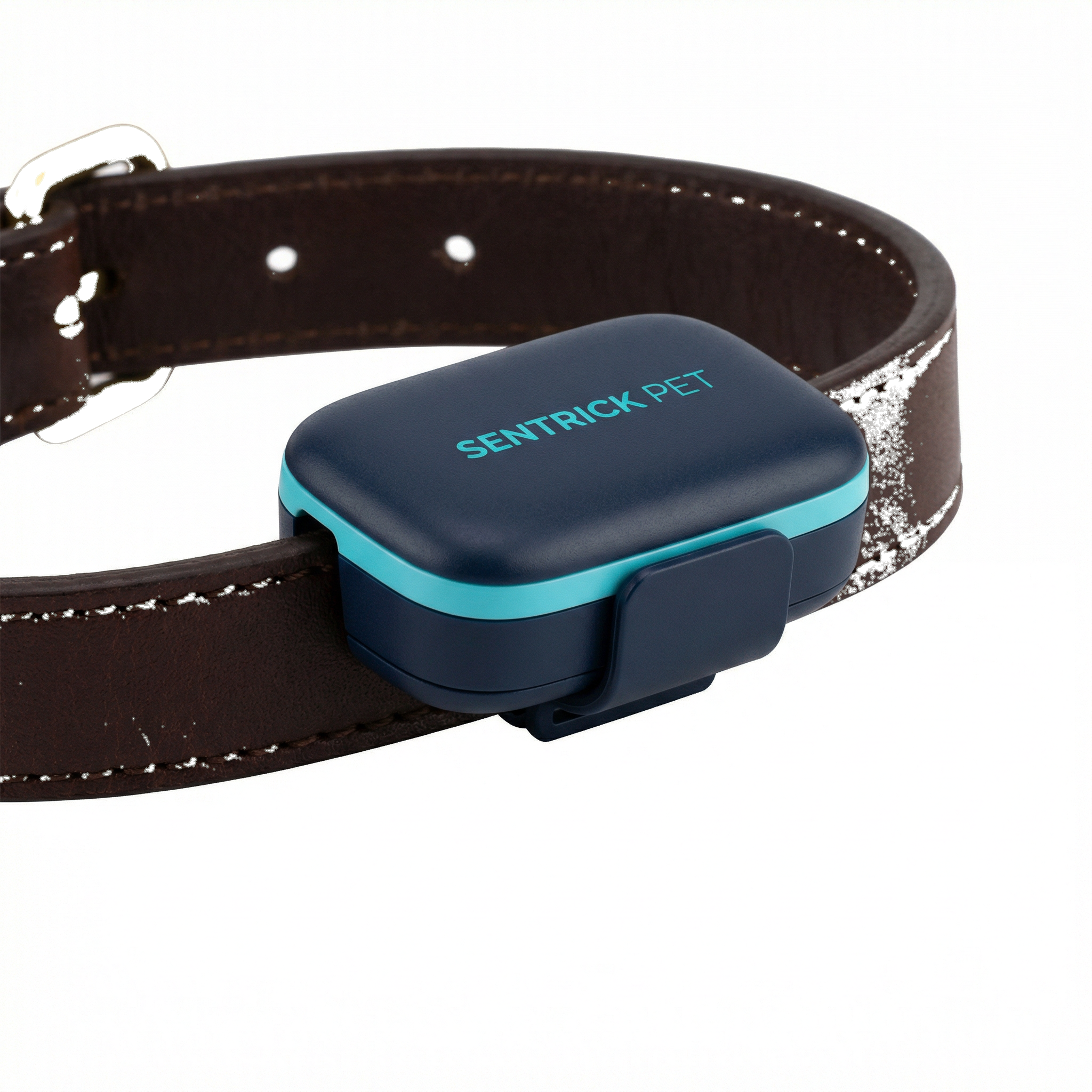
| Dog/Cat | $500–$5,000 | SENTRICK PET™ | Lightweight collar, waterproof |
| Sheep/Goat | $200–$800 | SENTRICK FLOCK™ | Low-cost, herd management |
2. Falcon Tracking: The Most Demanding GPS Application in the World
Falcon tracking represents the most technically demanding application of animal GPS technology. A peregrine falcon in a hunting stoop can reach speeds of 390 km/h (240 mph) — the fastest of any animal on Earth. Saker falcons used in Gulf falconry can range 50–100 kilometers from their handlers during a hunt. A lost falcon in the Arabian desert can die within hours from heat, dehydration, or injury.
The technical requirements for a falcon GPS tracker are extreme: the device must weigh less than 3% of the bird's body weight (typically 5–8 grams for a falcon tracker), withstand speeds exceeding 300 km/h, operate in temperatures from -20°C to +60°C, provide position updates every 10–30 seconds during active flight, and have a battery life of at least 12 hours for a full day's hunt.
SENTRICK FALCON™ was developed specifically for Gulf falconry traditions, in close collaboration with falconers from the UAE, Saudi Arabia, and Qatar. The device weighs 6.8 grams, uses a custom aerodynamic housing that does not impede flight, and provides 15-second position updates during active flight mode. When the falcon is stationary (perched or resting), the update interval extends to 5 minutes to conserve battery, automatically switching back to 15-second updates when movement is detected.
3. Smart Farm IoT: Beyond Individual Animal Tracking
Modern precision agriculture extends GPS tracking into a comprehensive IoT ecosystem that monitors not just animal location, but the entire farm environment. Temperature and humidity sensors in barns and stables alert farmers to conditions that stress animals or promote disease. Water trough sensors monitor consumption levels and alert when water is low or contaminated. Soil moisture sensors optimize irrigation scheduling. Gate sensors detect unauthorized access to paddocks or storage areas.
The integration of these sensor networks with GPS tracking creates a unified farm management platform. When a GPS tracker detects an animal has left a designated grazing area, the system can automatically check whether a gate sensor recorded an unauthorized opening — providing immediate insight into how the animal escaped. When a water trough sensor detects low consumption across a herd, the system can cross-reference GPS data to confirm the herd is near the trough, distinguishing between a broken sensor and animals that have moved to a different water source.
SENTRICK™ Infrastructure solutions provide this integrated approach for farms, factories, and institutional properties. Environmental sensors, access control monitors, and GPS tracking devices all feed into a single dashboard, giving farm managers complete situational awareness from any location.
4. Geofencing for Livestock: Virtual Fences That Actually Work
Traditional physical fencing is expensive to install, maintain, and modify. A kilometer of cattle fencing costs $3,000–$8,000 to install and requires regular inspection and repair. Virtual geofencing — using GPS tracking and software-defined boundaries — offers a flexible, lower-cost alternative for certain applications.
Virtual geofences can be drawn on a map in minutes and modified instantly without any physical work. When an animal approaches or crosses a virtual boundary, the system sends an immediate alert to the farmer's smartphone. For large ranches where physical fencing is impractical, GPS geofencing provides the first line of defense against straying — alerting farmers before animals have traveled far enough to become difficult to recover.
Advanced applications combine GPS geofencing with behavioral analysis. If a GPS tracker detects that an animal has been stationary for an unusually long period in a remote area — potentially indicating injury, illness, or entrapment — the system generates a welfare alert. This "abnormal stillness" detection has proven particularly valuable for detecting cattle that have become bogged in mud or fallen into ravines.
5. Connectivity Challenges: Tracking Animals in Remote Areas
The primary technical challenge in livestock tracking is connectivity. Animals graze in remote areas where cellular coverage is limited or absent. Standard GPS trackers that rely on 4G/LTE networks become useless in these environments, which is precisely where theft and straying are most likely to occur.
SENTRICK™ livestock trackers address this with a multi-network approach: 4G/LTE for primary connectivity, 2G/GPRS fallback for areas with limited coverage, and LoRaWAN (Long Range Wide Area Network) for truly remote areas where cellular networks are absent. LoRaWAN can transmit GPS coordinates up to 15 kilometers in open terrain using minimal power, making it ideal for large ranches and desert environments. For the most remote applications — offshore islands, deep wilderness, polar regions — SENTRICK™ offers satellite-connected trackers that communicate via the Iridium or Globalstar satellite networks, providing truly global coverage.